A. to Z. Street Atlas of Coventry


A. to Z. Street Atlas of Coventry
Regular price
Checking stock...
Regular price
Checking stock...
Zusammenfassung
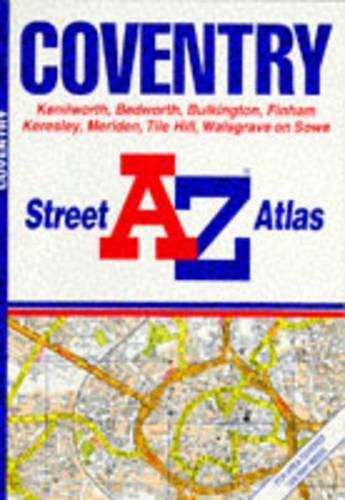
This street atlas, scale 3.25 to 1 mile (1:19,000), extends to include Kenilworth, Allesley, Bedworth, Bulkington, Finham, Keresley, Meriden, Tile Hill and Walsgrave on Sow. Major alterations for this edition includes (6A10-6B16) Phoenix Way is shown as under construction.
The feel-good place to buy books
- Free delivery in the UK
- Supporting authors with AuthorSHARE
- 100% recyclable packaging
- B Corp - kinder to people and planet
- Buy-back with World of Books - Sell Your Books
A. to Z. Street Atlas of Coventry by Geographers' A-Z Map Company
This street atlas, scale 3.25 to 1 mile, extends to include Kenilworth, Allesley, Bedworth, Bulkington, Finham, Keresley, Meriden, Tile Hill and Walsgrave on Sow. Major alterations for this edition include: (6A10-6B16) Phoenix Way is shown as under construction; (4F15-5G15) residential and retail development now shown; (6K15-6A16) Gosford Street has been upgraded to a B road; (1C16-2C16) residential and retail development now shown; and (4G19-6H19) Warwick University has been extensively revised.| SKU | Nicht verfügbar |
| ISBN 13 | 9780850392302 |
| ISBN 10 | 0850392306 |
| Titel | A. to Z. Street Atlas of Coventry |
| Autor | Geographers A-Z Map Company |
| Serie | A-Z Street Atlas S |
| Buchzustand | Nicht verfügbar |
| Bindungsart | Paperback |
| Verlag | HarperCollins Publishers |
| Erscheinungsjahr | 1989-03-01 |
| Seitenanzahl | 32 |
| Hinweis auf dem Einband | Die Abbildung des Buches dient nur Illustrationszwecken, die tatsächliche Bindung, das Cover und die Auflage können sich davon unterscheiden. |
| Hinweis | Nicht verfügbar |