Collins Easy Read Road Atlas Britain


Zusammenfassung
The feel-good place to buy books
Collins Easy Read Road Atlas Britain by
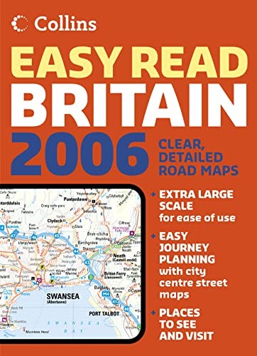
England, Wales and Southern Scotland at 2.5 miles to 1 inch, Northern Scotland at 3.2 miles to 1 inch. Exceptionally detailed extra large scale mapping in full colour presented with durable flexibinding. Includes detailed city centre maps for London, Birmingham, Glasgow, Leeds, Manchester and Liverpool. MAIN FEATURES Extra large scale road mapping of Britain with thousands of settlements plotted, presented with flexibinding. CONTENTS –Key to Map pages –Title and contents page –Key to map symbols –Route planning maps at 22 miles to 1 inch –Main mapping at 2.5 miles to 1 inch, with Northern Scotland at 3.2 miles to 1 inch –Large scale city centre maps of: London Glasgow Manchester Leeds Liverpool Birmingham –Full index to place names AREA OF COVERAGE Covers England, Scotland and Wales WHO THE PRODUCT IS OF INTEREST TO This large scale, highly detailed road atlas, presented in a convenient 312x226mm format, is ideal for those who want that extra level of settlement information. Added to this are detailed city centre street plans.| SKU | Nicht verfügbar |
| ISBN 13 | 9780007197071 |
| ISBN 10 | 0007197071 |
| Titel | Collins Easy Read Road Atlas Britain |
| Buchzustand | Nicht verfügbar |
| Bindungsart | Paperback |
| Verlag | HarperCollins Publishers |
| Erscheinungsjahr | 2005-11-07 |
| Seitenanzahl | 352 |
| Hinweis auf dem Einband | Die Abbildung des Buches dient nur Illustrationszwecken, die tatsächliche Bindung, das Cover und die Auflage können sich davon unterscheiden. |
| Hinweis | Nicht verfügbar |