

Derbyshire by
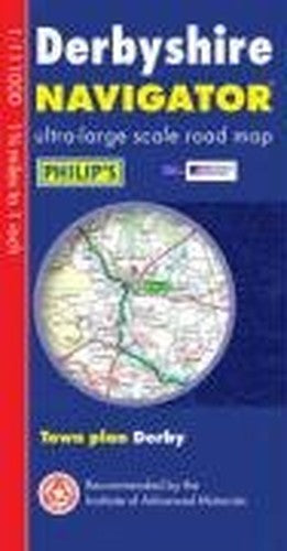
This is a brand new sheet map, featuring Philip's exceptionally large-scale and detailed Navigator[registered] mapping and covering the whole of Derbyshire and all of the Peak District. The map is part of Philip's series of "Navigator" sheet maps, each covering a whole county in a single sheet. The map contains highly detailed coverage at 1 3/4 miles to 1 inch of the complete road network, including minor country lanes and rural tracks, and every junction, roundabout and slip-road is shown in detail. There is much other detail, including major footpaths, plus thousands of individually named farms, houses and hamlets. Also shown are airfields, stations, canals and an abundance of places of interest. The area covered by the Peak District National Park is clearly shown. The map has a comprehensive index and includes an indexed town plan of Derby. The map is designed for both professional and leisure users. For professionals, the wealth of detail makes activities, such as regional planning and delivery driving far easier. Also, the map is fully printed on one side (including the index) to allow hanging on a wall. For leisure drivers, the comprehensive road detail makes it easy to navigate on country lanes, and increases the pleasure of touring by opening up new possibilities. The scale and detail are also ideal for cyclists, with steep hills clearly marked.| SKU | Nicht verfügbar |
| ISBN 13 | 9780540089550 |
| ISBN 10 | 0540089559 |
| Titel | Derbyshire |
| Serie | Philip's Navigator |
| Buchzustand | Nicht verfügbar |
| Bindungsart | Sheet map, folded |
| Verlag | Octopus Publishing Group |
| Erscheinungsjahr | 2006-03-06 |
| Hinweis auf dem Einband | Die Abbildung des Buches dient nur Illustrationszwecken, die tatsächliche Bindung, das Cover und die Auflage können sich davon unterscheiden. |
| Hinweis | Nicht verfügbar |