Explore ... Fort William Map


Zusammenfassung
The feel-good place to buy books
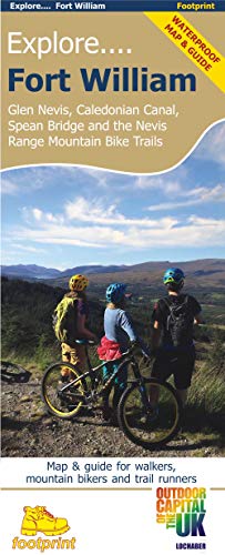
Explore ... Fort William Map by Footprint Maps
This specially produced map & guide shows all the paths, tracks and trails in this popular part of Western Scotland, rightly called The Outdoor Capital of the UK. The map also includes lots of other useful information for when you're out and about; from where to get a bite to eat to hiring or fixing your bike. Use the main map to plan your own route or use the individual maps overleaf to follow one of the suggested routes which have been carefully selected to take in some the best trails and views in the area. Side 1: an overview map of Glen Nevis, Caledonian Canal, Spean Bridge & Nevis range Side 2: nine specially surveyed routes for walkers, mountain bikers and trail runners. Each route is shown on its own map and is accompanied by detailed navigation notes| SKU | Nicht verfügbar |
| ISBN 13 | 9781916002920 |
| ISBN 10 | 1916002927 |
| Titel | Explore ... Fort William Map |
| Autor | Footprint Maps |
| Serie | Explore |
| Buchzustand | Nicht verfügbar |
| Bindungsart | Sheet map, folded |
| Verlag | Footprint Maps |
| Erscheinungsjahr | 2019-04-15 |
| Hinweis auf dem Einband | Die Abbildung des Buches dient nur Illustrationszwecken, die tatsächliche Bindung, das Cover und die Auflage können sich davon unterscheiden. |
| Hinweis | Nicht verfügbar |