Hastings A-Z Street Atlas


Hastings A-Z Street Atlas
Regular price
Checking stock...
Regular price
Checking stock...
Zusammenfassung
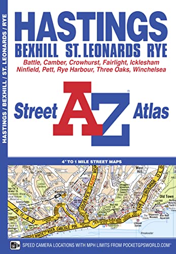
This atlas of Hastings, Bexhill, Battle, St. Leonards, Rye and Winchelsea has 38 pages of coloured street mapping that extends to: •Westfield, Doleham Station, Icklesham, Bowlers Town, Camber, Winchelsea Beach, Fairlight Cove, Cooden Beach, Russell's Green and Crowhurst.
The feel-good place to buy books
- Free delivery in the UK
- Supporting authors with AuthorSHARE
- 100% recyclable packaging
- B Corp - kinder to people and planet
- Buy-back with World of Books - Sell Your Books
Hastings A-Z Street Atlas by A-Z Maps
This atlas of Hastings, Bexhill, Battle, St. Leonards, Rye and Winchelsea has 38 pages of coloured street mapping that extends to: •Westfield, Doleham Station, Icklesham, Bowlers Town, Camber, Winchelsea Beach, Fairlight Cove, Cooden Beach, Russell's Green and Crowhurst. Postcode districts, one-way streets and safety camera locations with their maximum speed limit are featured on the mapping. The index section lists streets, selected flats, walkways and places of interest, place, area and station names, hospitals and hospices covered by this atlas.Britain’s leading street map publisher providing cartographic services, digital data products and paper mapping publications (including Street Atlases, Visitors Guides, Great Britain Road Atlases and The Adventure Atlas).
| SKU | Nicht verfügbar |
| ISBN 13 | 9781843486640 |
| ISBN 10 | 1843486644 |
| Titel | Hastings A-Z Street Atlas |
| Autor | A-Z Maps |
| Buchzustand | Nicht verfügbar |
| Bindungsart | Paperback |
| Verlag | HarperCollins Publishers |
| Erscheinungsjahr | 2018-02-28 |
| Seitenanzahl | 52 |
| Hinweis auf dem Einband | Die Abbildung des Buches dient nur Illustrationszwecken, die tatsächliche Bindung, das Cover und die Auflage können sich davon unterscheiden. |
| Hinweis | Nicht verfügbar |