Ordnance Survey Surrey Street Atlas


Ordnance Survey Surrey Street Atlas
Regular price
Checking stock...
Regular price
Checking stock...
Zusammenfassung
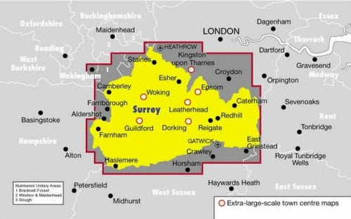
This street atlas of Surrey, at a scale of 3.5 inches to 1 mile, is suited to both business and leisure use. School locations are marked and emergency and public services clearly featured. The main map shows every named road with through-routes highlighted: a route-planner is also provided.
The feel-good place to buy books
- Free delivery in the UK
- Supporting authors with AuthorSHARE
- 100% recyclable packaging
- B Corp - kinder to people and planet
- Buy-back with World of Books - Sell Your Books
Ordnance Survey Surrey Street Atlas by Philip's Maps
This street atlas of Surrey, at a scale of 3.5 inches to 1 mile, is suited to both business and leisure use. School locations are marked and emergency and public services clearly featured. The main map shows every named road with through-routes highlighted: a route-planner is also provided.| SKU | Nicht verfügbar |
| ISBN 13 | 9780540077953 |
| ISBN 10 | 054007795X |
| Titel | Ordnance Survey Surrey Street Atlas |
| Autor | Philip's Maps |
| Buchzustand | Nicht verfügbar |
| Bindungsart | Spiral bound |
| Verlag | Octopus Publishing Group |
| Erscheinungsjahr | 2000-01-05 |
| Seitenanzahl | 304 |
| Hinweis auf dem Einband | Die Abbildung des Buches dient nur Illustrationszwecken, die tatsächliche Bindung, das Cover und die Auflage können sich davon unterscheiden. |
| Hinweis | Nicht verfügbar |