Outer Hebrides Pocket Map


Zusammenfassung
The feel-good place to buy books
Outer Hebrides Pocket Map by Collins Maps
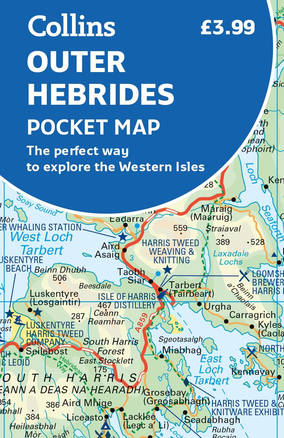
Explore new places with handy pocket maps from Collins. Handy little full-colour map of the Western Isles of Scotland. Detailed mapping and tourist information for the islands of Lewis, Harris, Uist, Benbecula, Barra and St Kilda. Excellent value and very detailed for its size. Famed for its stunning coastline, wildlife and traditional food and drink, the Outer Hebrides have a distinct identity. Discover these unique islands with this handy pocket map. Main features of this map include: Clear mapping at a scale of 3.2 miles to 1 inch Tourist attractions located and described Sights, places to stay, cafe/restaurant, things to do are all highlighted on the map Transport links map showing how to get to and depart the islands Index to places of interest and place names Essential for those planning a trip around the Western Isles.Explore the world through accurate and up-to-date mapping.
| SKU | Nicht verfügbar |
| ISBN 13 | 9780008580056 |
| ISBN 10 | 0008580057 |
| Titel | Outer Hebrides Pocket Map |
| Autor | Collins Maps |
| Buchzustand | Nicht verfügbar |
| Bindungsart | Sheet map, folded |
| Verlag | HarperCollins Publishers |
| Erscheinungsjahr | 2023-02-16 |
| Seitenanzahl | 2 |
| Hinweis auf dem Einband | Die Abbildung des Buches dient nur Illustrationszwecken, die tatsächliche Bindung, das Cover und die Auflage können sich davon unterscheiden. |
| Hinweis | Nicht verfügbar |