Philip's Europe Road Map


Zusammenfassung
The feel-good place to buy books
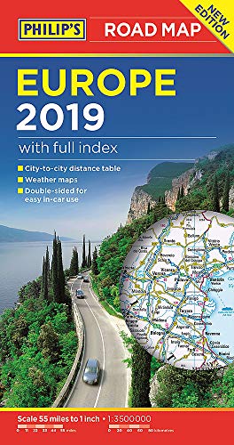
Philip's Europe Road Map by Philip's Maps
'THE CLEAREST AND MOST DETAILED MAPS OF EUROPE' David Williams MBE, CEO Gem Motoring Assist The map for planning your European Road Trip: - Main scale super-clear 1: 3,500,000 (55 miles to 1 inch) - Fully updated - Scenic routes highlighted - Summer and Winter weather maps - Maps on both sides - more for your money - City to City Distance Table - The important information for motoring: motorways (toll, pre-pay and free), mountain passes, railways, road numbers (European and local), distances between towns - Full index of place names - Major city location maps - All the places of interest for your trip: from castles, historic houses, beaches and national parks to theme parks, places of worship and ancient monuments In fact, everything you need for driving in Europe - every country covered
Philip's has been at the forefront of creating maps and atlases since 1834. Whether a local street map or a fact-packed World Atlas, we use the most up-to-date technology, expertise and our global network to ensure our customers have all the information they need.
| SKU | Nicht verfügbar |
| ISBN 13 | 9781849074353 |
| ISBN 10 | 1849074356 |
| Titel | Philip's Europe Road Map |
| Autor | Philip's Maps |
| Serie | Philip's Sheet Maps |
| Buchzustand | Nicht verfügbar |
| Bindungsart | Paperback |
| Verlag | Octopus Publishing Group |
| Erscheinungsjahr | 2018-05-03 |
| Seitenanzahl | 2 |
| Hinweis auf dem Einband | Die Abbildung des Buches dient nur Illustrationszwecken, die tatsächliche Bindung, das Cover und die Auflage können sich davon unterscheiden. |
| Hinweis | Nicht verfügbar |