Philip's Outer Hebrides


Philip's Outer Hebrides
Regular price
Checking stock...
Regular price
Checking stock...
Zusammenfassung
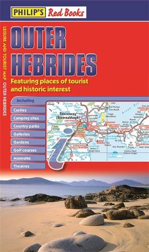
A new edition of this single-sided folded sheet map of the Outer Hebrides, giving detailed coverage of the area's road network, and featuring places of tourist and historic interest.
The feel-good place to buy books
- Free delivery in the UK
- Supporting authors with AuthorSHARE
- 100% recyclable packaging
- B Corp - kinder to people and planet
- Buy-back with World of Books - Sell Your Books
Philip's Outer Hebrides by Philip's Maps
The new edition of this leisure and tourist map of the Outer Hebrides gives detailed coverage of the area's road network at a scale of 3.16 miles to 1 inch. The map shows places of tourist and historic interest, including castles, camping sites, country parks, galleries, gardens, golf courses, marinas, museums, nature trails, historic sites, sports venues, theatres, theme parks, wildlife parks and zoos. An index to principal places of interest is also featured. In a convenient folded format, this single-sided sheet map is ideally suited for both leisure and business use, whether by locals or visitors.| SKU | Nicht verfügbar |
| ISBN 13 | 9781849073233 |
| ISBN 10 | 1849073236 |
| Titel | Philip's Outer Hebrides |
| Autor | Philip's Maps |
| Serie | Philip's Red Books |
| Buchzustand | Nicht verfügbar |
| Bindungsart | Paperback |
| Verlag | Octopus Publishing Group |
| Erscheinungsjahr | 2014-06-02 |
| Seitenanzahl | 1 |
| Hinweis auf dem Einband | Die Abbildung des Buches dient nur Illustrationszwecken, die tatsächliche Bindung, das Cover und die Auflage können sich davon unterscheiden. |
| Hinweis | Nicht verfügbar |