Philip's Regional Road Maps Britain


Philip's Regional Road Maps Britain
Regular price
Checking stock...
Regular price
Checking stock...
Zusammenfassung
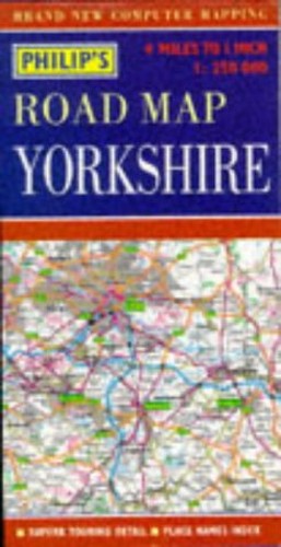
A road map of Yorkshire at a scale of 1:250,000. Motorways and primary routes stand out in bold colours, and primary destinations are highlighted. The network of secondary roads is shown in detail, so that alternative routes can be found easily. Tourist information is included.
The feel-good place to buy books
- Free delivery in the UK
- Supporting authors with AuthorSHARE
- 100% recyclable packaging
- B Corp - kinder to people and planet
- Buy-back with World of Books - Sell Your Books
Philip's Regional Road Maps Britain by
A road map of Yorkshire at a scale of 1:250,000. Motorways and primary routes stand out in bold colours, and primary destinations are highlighted. The network of secondary roads is shown in detail, so that alternative routes can be found easily. Tourist information is included.| SKU | Nicht verfügbar |
| ISBN 13 | 9780540063611 |
| ISBN 10 | 0540063614 |
| Titel | Philip's Regional Road Maps Britain |
| Serie | Philip's Regional Road Maps Of Britain |
| Buchzustand | Nicht verfügbar |
| Bindungsart | Sheet map, folded |
| Verlag | Octopus Publishing Group |
| Erscheinungsjahr | 1996-04-15 |
| Hinweis auf dem Einband | Die Abbildung des Buches dient nur Illustrationszwecken, die tatsächliche Bindung, das Cover und die Auflage können sich davon unterscheiden. |
| Hinweis | Nicht verfügbar |