The South Downs Way Map Booklet


Zusammenfassung
The feel-good place to buy books
The South Downs Way Map Booklet by Kev Reynolds
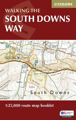
Map of the 100 mile (160km) South Downs Way National Trail, between Eastbourne and Winchester. This booklet is included with the Cicerone guidebook to the trail and shows the full route on OS 1:25,000 maps. The trail typically takes a week to walk and is suitable for most levels of ability.
Kev Reynolds was a freelance writer, photojournalist and lecturer. A prolific compiler of guidebooks, his first title for Cicerone Press (Walks & Climbs in the Pyrenees) appeared in 1978; he later produced many more titles for the same publisher. A member of the Outdoor Writers' Guild, the Alpine Club and Austrian Alpine Club, his passion for mountains and the countryside inspired a lifetime's activity, and he regularly travelled throughout Britain to share that enthusiasm through his lectures. Sadly, Kev passed away in 2021. He will be remembered fondly by all who knew him and by many more he inspired through his writing and talks.
| SKU | Nicht verfügbar |
| ISBN 13 | 9781786311658 |
| ISBN 10 | 1786311658 |
| Titel | The South Downs Way Map Booklet |
| Autor | Kev Reynolds |
| Buchzustand | Nicht verfügbar |
| Bindungsart | Paperback |
| Verlag | Cicerone Press |
| Erscheinungsjahr | 2023-06-28 |
| Seitenanzahl | 64 |
| Hinweis auf dem Einband | Die Abbildung des Buches dient nur Illustrationszwecken, die tatsächliche Bindung, das Cover und die Auflage können sich davon unterscheiden. |
| Hinweis | Nicht verfügbar |