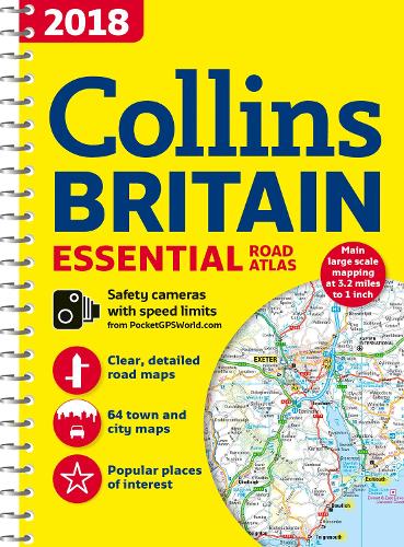
2018 Collins Essential Road Atlas Britain


Zusammenfassung
The feel-good place to buy books
2018 Collins Essential Road Atlas Britain by Collins Maps
This A4 road atlas with popular lie-flat spiral binding features clear, detailed road mapping, at a scale of 3.2 miles to 1 inch (1:200,000) for England, Wales and Southern Scotland and at 4.2 miles to 1 inch (1:266,000) in Northern Scotland, with land height shown by attractive layer colouring.The use of light colours in the maps and a 32mpi scale make the Collins Essential easy to read at a glance Auto Express
Explore the world through accurate and up-to-date mapping.
| SKU | Nicht verfügbar |
| ISBN 13 | 9780008214562 |
| ISBN 10 | 0008214565 |
| Titel | 2018 Collins Essential Road Atlas Britain |
| Autor | Collins Maps |
| Buchzustand | Nicht verfügbar |
| Bindungsart | Paperback |
| Verlag | HarperCollins Publishers |
| Erscheinungsjahr | 2017-06-15 |
| Seitenanzahl | 288 |
| Hinweis auf dem Einband | Die Abbildung des Buches dient nur Illustrationszwecken, die tatsächliche Bindung, das Cover und die Auflage können sich davon unterscheiden. |
| Hinweis | Nicht verfügbar |