2025 Philip's Easy to Read Road Atlas of Britain


2025 Philip's Easy to Read Road Atlas of Britain
Regular price
Checking stock...
Regular price
Checking stock...
Zusammenfassung
The detail you need - at a size you can read now in paperback. No more squinting to read the index or guessing whether that really is the village you want. Philip's new range of super-clear, large-scale maps means that everyone can go places more easily.
The feel-good place to buy books
- Free delivery in the UK
- Supporting authors with AuthorSHARE
- 100% recyclable packaging
- B Corp - kinder to people and planet
- Buy-back with World of Books - Sell Your Books
2025 Philip's Easy to Read Road Atlas of Britain by Philip's Maps
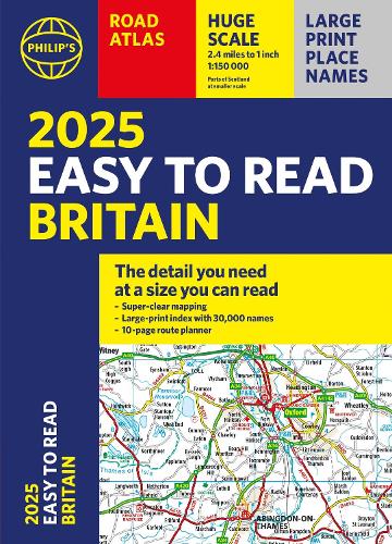
"The detail you need at a size you can read". The latest 2025 Philip's Easy to Read Road Atlas of Britain from the best-selling Road Atlas range has over 350 pages packed with exceptionally clear mapping and everything you need for exploring Britain. Now available as a practical paperback, it will enhance any trip. · Clear maps packed with extra details for a better journey · Huge 1:150,000 scale (approx 2.4 miles to 1 inch) · Large print place names · Large print index · Super-clear 10-page route planner to create the best journeys · Thousands of attractions clearly mapped, including castles, theme parks, gardens, zoos and more. · London's expanded ULEZ clearly shown on approach mapping At last, a road atlas that everyone can read easily, in or out of the car, no matter what the conditions. With up-to-date mapping technology, your travels have never been easier to plan. This edition contains a wealth of useful information, including tourist attractions, to ensure the best possible journey. Whether it's dark, or if you just can't find your glasses, the 2025 Philip's Easy to Read Road Atlas of Britain is the ultimate road companion.
The clearest and most detailed maps of Europe * David Williams MBE, former CEO Gem Motoring Assist *
The best of its kind with quick, easy-to-use information * Fleet Week *
The best of its kind with quick, easy-to-use information * Fleet Week *
Philip's has been at the forefront of creating maps and atlases since 1834. Whether a local street map or a fact-packed World Atlas, we use the most up-to-date technology, expertise and our global network to ensure our customers have all the information they need.
| SKU | Nicht verfügbar |
| ISBN 13 | 9781849076654 |
| ISBN 10 | 1849076650 |
| Titel | 2025 Philip's Easy to Read Road Atlas of Britain |
| Autor | Philip's Maps |
| Serie | Philip's Road Atlases |
| Buchzustand | Nicht verfügbar |
| Bindungsart | Paperback |
| Verlag | Octopus Publishing Group |
| Erscheinungsjahr | 2024-04-04 |
| Seitenanzahl | 352 |
| Hinweis auf dem Einband | Die Abbildung des Buches dient nur Illustrationszwecken, die tatsächliche Bindung, das Cover und die Auflage können sich davon unterscheiden. |
| Hinweis | Nicht verfügbar |