A. to Z. Street Atlas of Reading, Henley-on-Thames, and Wokingham


A. to Z. Street Atlas of Reading, Henley-on-Thames, and Wokingham
Regular price
Checking stock...
Regular price
Checking stock...
Zusammenfassung
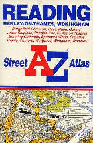
This street atlas, scale 4 to 1 mile, covers Reading, its immediate environs, Henley-on-Thames and Wokingham. It contains 48 pages of colour maps and incorporates grid squares based on the National Grid, the values of which are shown in the margin.
The feel-good place to buy books
- Free delivery in the UK
- Supporting authors with AuthorSHARE
- 100% recyclable packaging
- B Corp - kinder to people and planet
- Buy-back with World of Books - Sell Your Books
A. to Z. Street Atlas of Reading, Henley-on-Thames, and Wokingham by Geographers' A-Z Map Company
This street atlas, scale 4 to 1 mile, covers Reading, its immediate environs, Henley-on-Thames and Wokingham. It contains 48 pages of colour maps and incorporates grid squares based on the National Grid, the values of which are shown in the margin.| SKU | Nicht verfügbar |
| ISBN 13 | 9780850392777 |
| ISBN 10 | 0850392772 |
| Titel | A. to Z. Street Atlas of Reading, Henley-on-Thames, and Wokingham |
| Autor | Geographers A-Z Map Company |
| Serie | A-Z Street Atlas S |
| Buchzustand | Nicht verfügbar |
| Bindungsart | Paperback |
| Verlag | HarperCollins Publishers |
| Erscheinungsjahr | 1993-02-01 |
| Seitenanzahl | 64 |
| Hinweis auf dem Einband | Die Abbildung des Buches dient nur Illustrationszwecken, die tatsächliche Bindung, das Cover und die Auflage können sich davon unterscheiden. |
| Hinweis | Nicht verfügbar |