Comprehensive Road Atlas Ireland


Zusammenfassung
The feel-good place to buy books
Comprehensive Road Atlas Ireland by Collins Maps
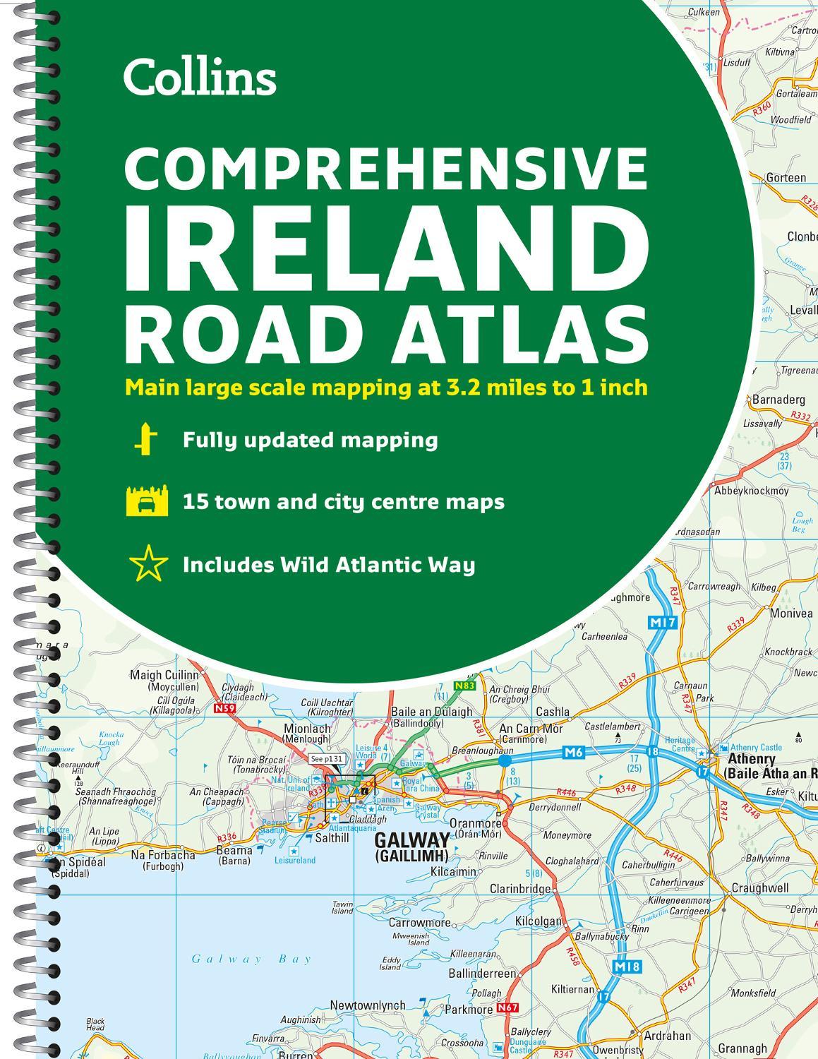
Clear, detailed road atlas of Ireland in a handy A4 spiral-bound format. This comprehensive, general purpose road atlas is ideal for both business and pleasure. Highlights include: Clear mapping at a scale of 3.2 miles to 1 inch, which is useful for navigation An additional 9 miles to 1 inch route planning map Places of interest section with information and photographs A range of fully indexed town and city centre maps, including: Bangor, Belfast, Cork, Dublin, Limerick, Lisburn, Londonderry (Derry) and Newtownabbey This updated edition boasts road mapping packed with detail. There is a colour classified road network that also shows toll roads. Blue Flag and Green Coast beaches are shown along with tourist information centres and a wide range of tourist attractions. There is also comprehensive information for visitors to Belfast, Cork, Dublin and Limerick. The perfect companion for anyone visiting Ireland.Explore the world through accurate and up-to-date mapping.
| SKU | Nicht verfügbar |
| ISBN 13 | 9780008412814 |
| ISBN 10 | 0008412812 |
| Titel | Comprehensive Road Atlas Ireland |
| Autor | Collins Maps |
| Buchzustand | Nicht verfügbar |
| Bindungsart | Paperback |
| Verlag | HarperCollins Publishers |
| Erscheinungsjahr | 2023-03-02 |
| Seitenanzahl | 160 |
| Hinweis auf dem Einband | Die Abbildung des Buches dient nur Illustrationszwecken, die tatsächliche Bindung, das Cover und die Auflage können sich davon unterscheiden. |
| Hinweis | Nicht verfügbar |