Guildford Town Atlas


Zusammenfassung
The feel-good place to buy books
Guildford Town Atlas by
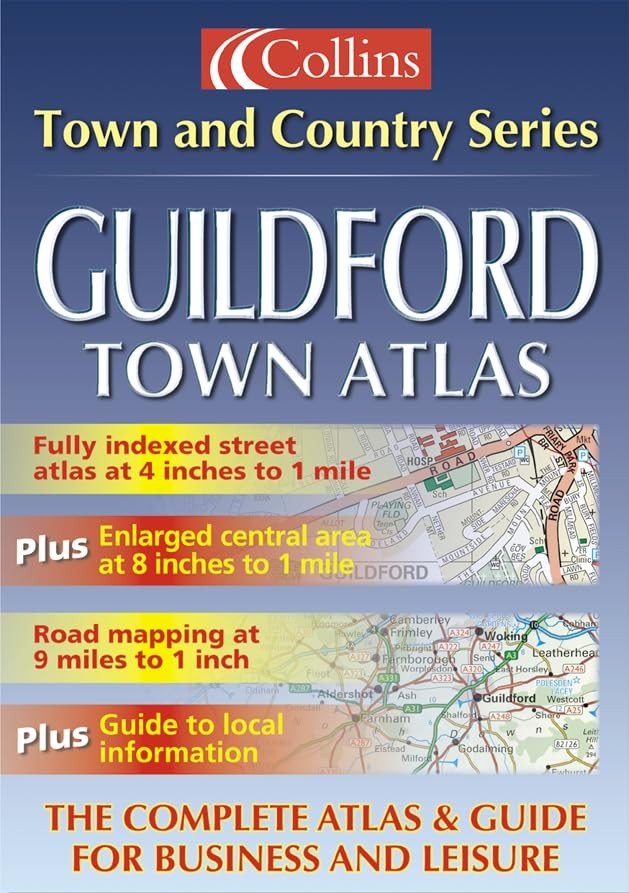
Scale: Town plan at 4 inches to 1 mile, Road maps at 9 miles to 1 inch. Brand new fully detailed street level mapping, complete with 9 mile road mapping of the surrounding area. MAIN FEATURES One of a series of full colour atlases combining two different scales of mapping: detailed town centre maps at 4 inches to 1 mile and clear route planning maps of the area surrounding the Guildford town centre at 9 miles to 1 inch. INCLUDES • large scale town centre street level mapping, fully indexed • local information section with important contacts and details • road mapping at 9 miles to 1 inch, centred on the town • postal districts clearly shown AREA OF COVERAGE Road mapping extends to approximately 30 miles around Guildford town centre. Street level mapping extends from West Byfleet in the north to Wonersh in the south and from Rydeshill in the west to West Clandon in the east.| SKU | Nicht verfügbar |
| ISBN 13 | 9780007112487 |
| ISBN 10 | 0007112483 |
| Titel | Guildford Town Atlas |
| Serie | Town And Country |
| Buchzustand | Nicht verfügbar |
| Bindungsart | Paperback |
| Verlag | HarperCollins Publishers |
| Erscheinungsjahr | 2001-11-05 |
| Seitenanzahl | 40 |
| Hinweis auf dem Einband | Die Abbildung des Buches dient nur Illustrationszwecken, die tatsächliche Bindung, das Cover und die Auflage können sich davon unterscheiden. |
| Hinweis | Nicht verfügbar |