

London Pocket Map by Collins Maps
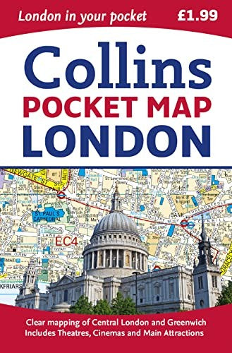
Handy little full colour map of central London with a high level of detail. Clear mapping of central London from Regents Park in the north to Kennington in the south, and Kensington Gardens in the west to Tower Bridge in the east at a scale of 1:12,500 (5 inches to 1 mile). Maps of West End shopping and theatres are also included.Explore the world through accurate and up-to-date mapping.
| SKU | Nicht verfügbar |
| ISBN 13 | 9780008104566 |
| ISBN 10 | 0008104565 |
| Titel | London Pocket Map |
| Autor | Collins Maps |
| Buchzustand | Nicht verfügbar |
| Bindungsart | Sheet map, folded |
| Verlag | HarperCollins Publishers |
| Erscheinungsjahr | 2015-02-12 |
| Seitenanzahl | 96 |
| Hinweis auf dem Einband | Die Abbildung des Buches dient nur Illustrationszwecken, die tatsächliche Bindung, das Cover und die Auflage können sich davon unterscheiden. |
| Hinweis | Nicht verfügbar |