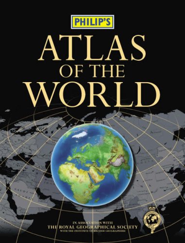
Philip's Atlas of the World
Philip's Atlas of the World
Regular price
Checking stock...
Regular price
Checking stock...
Zusammenfassung
Presents a detailed physical and political map in a large-format. This atlas includes Warming Island in Greenland, revealed by the melting ice-cap; the international airport at Jebel Ali, UAE; King Khalid Military City in northern Saudi Arabia; and the Somport Tunnel linking Aquitaine (France) and Aragon (Spain).
The feel-good place to buy books
- Free delivery in the UK
- Supporting authors with AuthorSHARE
- 100% recyclable packaging
- B Corp - kinder to people and planet
- Buy-back with World of Books - Sell Your Books

Philip's Atlas of the World by Philip's
The detailed physical and political maps in this large-format atlas have been fully revised and updated. Praised by the "Daily Mail" as 'clearer than "The Times"', the unique combination of relief colouring and hill-shading gives an exceptional portrayal of landforms. Latest updates to the maps include the world's newest island = Warming Island in Greenland, revealed by the melting ice-cap; the new international airport at Jebel Ali, UAE (the world's largest airport on completion); new name forms in Karnataka, India (Bangalore = Bengaluru, Mysore = Mysuru, Mangalore = Mangaluru, and Belgaum = Belgavi); new name form for Johannesburg International Airport = O. R. Tambo International Airport; King Khalid Military City in northern Saudi Arabia; and the new Somport Tunnel linking Aquitaine (France) and Aragon (Spain).This new edition features the informative 'World Geography' section, packed with maps, diagrams and text explaining key world themes such as climate, geology, trade, agriculture, industry and population. Also included are urban-area and city-centre maps for 69 of the world's largest and most economically important cities, including all major capitals. In addition, the 'Images of Earth' section shows spectacular satellite views of 17 major cities and regions across the globe. Illustrated with flags and locator maps, the 34-page A-Z 'Gazetteer of Nations' provides key facts and figures for every sovereign state; plus topical current affairs maps are provided for 'Regions in the News', including Iraq, Afghanistan and Israel/Palestine.The 83,000-name index, including geographical features and historical place names as well as towns and cities, gives full latitude/longitude co-ordinates and letter-figure grid references. A 1,000-entry 'Geographical Glossary' explains the derivations of many unfamiliar place names - for example: wadi = dry watercourse; and jebel = mountain.| SKU | Nicht verfügbar |
| ISBN 13 | 9780540090068 |
| ISBN 10 | 0540090069 |
| Titel | Philip's Atlas of the World |
| Autor | Philip S |
| Buchzustand | Nicht verfügbar |
| Bindungsart | Hardback |
| Verlag | Octopus Publishing Group |
| Erscheinungsjahr | 2007-09-10 |
| Seitenanzahl | 448 |
| Hinweis auf dem Einband | Die Abbildung des Buches dient nur Illustrationszwecken, die tatsächliche Bindung, das Cover und die Auflage können sich davon unterscheiden. |
| Hinweis | Nicht verfügbar |
