Philip's Germany and Netherlands Road Map


Zusammenfassung
The feel-good place to buy books
Philip's Germany and Netherlands Road Map by Philip's Maps
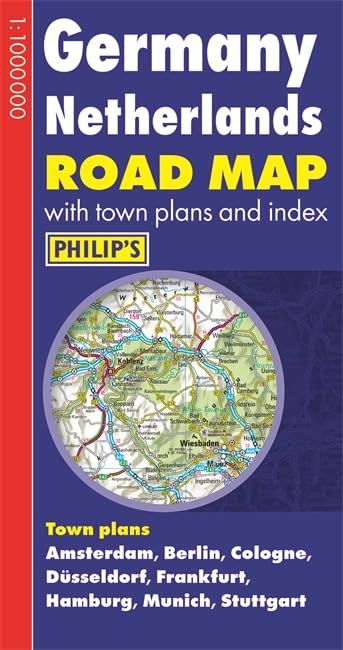
Philip's Germany and Netherlands Road Map is designed for long-distance driving, and is a convenient size for opening out on a table or in a vehicle. Germany and the Netherlands are shown at 10 km to 1 cm (16 miles to 1 inch), an ideal scale for long-distance driving, with major routes and destinations picked out in bold colours. Toll and pre-pay motorways are clearly shown, along with restricted and unrestricted motorway junctions, service areas and rest areas. Town plans are provided for Amsterdam, Berlin, Cologne, Dusseldorf, Frankfurt, Hamburg, Munich and Stuttgart. For holiday planning, the map highlights scenic routes and shows car ferry routes, along with ancient monuments, beaches, castles, cathedrals, national parks, ski resorts, theme parks, world heritage sites, and many other places of interest.| SKU | Nicht verfügbar |
| ISBN 13 | 9781849073073 |
| ISBN 10 | 1849073074 |
| Titel | Philip's Germany and Netherlands Road Map |
| Autor | Philip's Maps |
| Buchzustand | Nicht verfügbar |
| Bindungsart | Paperback |
| Verlag | Octopus Publishing Group |
| Erscheinungsjahr | 2014-02-03 |
| Hinweis auf dem Einband | Die Abbildung des Buches dient nur Illustrationszwecken, die tatsächliche Bindung, das Cover und die Auflage können sich davon unterscheiden. |
| Hinweis | Nicht verfügbar |