
Scotland Touring Map


Zusammenfassung
The feel-good place to buy books
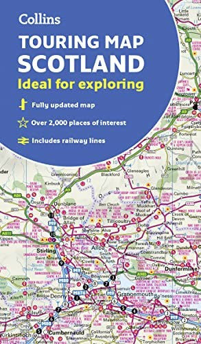
Scotland Touring Map by Collins Maps
This bestselling touring map has a huge amount of detail with over 1,000 places of tourist interest plotted and named on the map. The features have been plotted onto an up-to-date and attractive Collins map of Scotland. A clear, easy to follow road map with colour classified roads. Ideal for tourists with hundreds of distinctive tourist symbols and tourist information centres all shown. This map includes: • The whole of Scotland on a double sided sheet at 5 miles to 1 inch • Over 25 categories of tourist information shown on the map including youth hostels, picnic sites and ferries as well as the more obvious tourist sites such as castles, wildlife parks and museums • Detailed town centre maps of Edinburgh, Glasgow, Aberdeen, Dundee, Inverness and Perth • Fully updated including the new V&A in Dundee, Aberdeen Bypass and the Queensferry crossing Scale: 1:316,800 (5 miles to 1 inch). There is a comprehensive index to both place names and places of tourist interest.Explore the world through accurate and up-to-date mapping.
| SKU | Nicht verfügbar |
| ISBN 13 | 9780008320379 |
| ISBN 10 | 0008320373 |
| Titel | Scotland Touring Map |
| Autor | Collins Maps |
| Buchzustand | Nicht verfügbar |
| Bindungsart | Sheet map, folded |
| Verlag | HarperCollins Publishers |
| Erscheinungsjahr | 2019-03-07 |
| Seitenanzahl | 1 |
| Hinweis auf dem Einband | Die Abbildung des Buches dient nur Illustrationszwecken, die tatsächliche Bindung, das Cover und die Auflage können sich davon unterscheiden. |
| Hinweis | Nicht verfügbar |