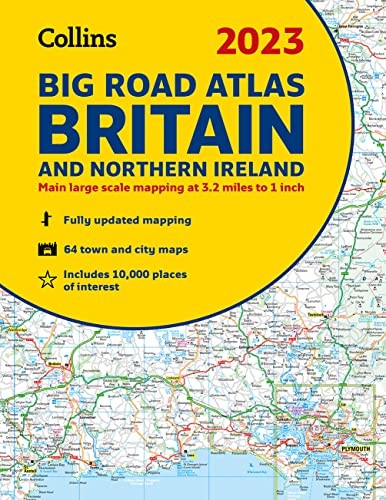
2023 Collins Big Road Atlas Britain and Northern Ireland


Summary
The feel-good place to buy books
2023 Collins Big Road Atlas Britain and Northern Ireland by Collins Maps
Discover new places with fully updated road atlases from Collins. The ultimate 3.2 miles to 1 inch scale large format paperback road atlas of Britain, featuring Collins popular and well established road mapping, and designed for exceptional clarity and ease of use.Explore the world through accurate and up-to-date mapping.
| SKU | Unavailable |
| ISBN 13 | 9780008528751 |
| ISBN 10 | 0008528756 |
| Title | 2023 Collins Big Road Atlas Britain and Northern Ireland |
| Author | Collins Maps |
| Series | Collins Road Atlas |
| Condition | Unavailable |
| Binding Type | Paperback |
| Publisher | HarperCollins Publishers |
| Year published | 2022-06-09 |
| Number of pages | 176 |
| Cover note | Book picture is for illustrative purposes only, actual binding, cover or edition may vary. |
| Note | Unavailable |