
A-Z Middlesbrough and Stockton-on-Tees Street Atlas


Proud to be B-Corp
The feel-good place to buy books
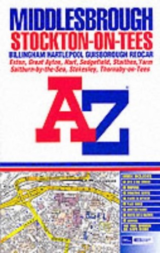
A-Z Middlesbrough and Stockton-on-Tees Street Atlas by Geographers' A-Z Map Company
This paperback atlas contains 166 pages of coloured street mapping that extends from the centres of Middlesbrough, Stockton-on-Tees, Billingham, Hartlepool, Guisborough and Redcar to Hart Station, Seaton Carew, Warrenby, Marske-by-the-Sea, Saltburn-by-the-Sea, Brotton, Skinningrove, Easington, Staithes, Hinderwell, Liverton, Moorsholm, Lingdale, Hutton Gate, Great Ayton, Stokesley, Hilton, Middleton-on-Leven, Kirklevington, Yarm, Aislaby, Tees-side Airport, Middleton One Row, Long Newton, Redmarshall, Whitton, Wynyard Village, Dalton Piercy, Elwick and Sheraton. There is also coverage of Sedgefield and an inset map of Stillington. The 65 page index lists streets, a selection of subsidiary addresses, place and area names that are shown in bold text and a selection of places of interest highlighted in red text. Also included are separate listings of hospitals and hospices and of railway stations covered by this atlas.| SKU | Unavailable |
| ISBN 13 | 9780850398632 |
| ISBN 10 | 0850398630 |
| Title | A-Z Middlesbrough and Stockton-on-Tees Street Atlas |
| Author | Geographers' A-Z Map Company |
| Condition | Unavailable |
| Binding Type | Paperback |
| Publisher | HarperCollins Publishers |
| Year published | 2002-02-11 |
| Number of pages | 166 |
| Cover note | Book picture is for illustrative purposes only, actual binding, cover or edition may vary. |
| Note | Unavailable |