

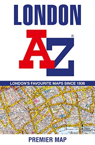
London A-Z Premier Map by A-Z Maps
Navigate your way around London with this detailed, easy-to-use, and up-to-date A-Z Premier Map.Britain’s leading street map publisher providing cartographic services, digital data products and paper mapping publications (including Street Atlases, Visitors Guides, Great Britain Road Atlases and The Adventure Atlas).
| SKU | Unavailable |
| ISBN 13 | 9780008581763 |
| ISBN 10 | 0008581762 |
| Title | London A-Z Premier Map |
| Author | A-Z Maps |
| Condition | Unavailable |
| Binding Type | Sheet map, folded |
| Publisher | HarperCollins Publishers |
| Year published | 2023-02-02 |
| Number of pages | 1 |
| Cover note | Book picture is for illustrative purposes only, actual binding, cover or edition may vary. |
| Note | Unavailable |