
Macclesfield A-Z Street Atlas


Proud to be B-Corp
The feel-good place to buy books
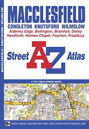
Macclesfield A-Z Street Atlas by A-Z Maps
This A-Z map of Macclesfield is a full colour street atlas featuring 43 pages of mapping to include: •Manchester Airport •Knutsford •Wilmslow •Alderley Edge •Bramhall •High Lane •Disley •New Mills (part) •Bollington •Gawsworth (inset) •Holmes Chapel •Congleton Postcode districts, one-way streets, safety camera locations with their maximum speed and National Park boundaries are also featured on the mapping. The index section lists streets, selected flats, walkways and places of interest, place, area and station names, hospitals and hospices covered by this atlas.Britain’s leading street map publisher providing cartographic services, digital data products and paper mapping publications (including Street Atlases, Visitors Guides, Great Britain Road Atlases and The Adventure Atlas).
| SKU | Unavailable |
| ISBN 13 | 9781843488163 |
| ISBN 10 | 1843488167 |
| Title | Macclesfield A-Z Street Atlas |
| Author | A-Z Maps |
| Condition | Unavailable |
| Binding Type | Paperback |
| Publisher | HarperCollins Publishers |
| Year published | 2016-02-11 |
| Number of pages | 64 |
| Cover note | Book picture is for illustrative purposes only, actual binding, cover or edition may vary. |
| Note | Unavailable |