
My Canada: An Illustrated Atlas


Proud to be B-Corp
The feel-good place to buy books
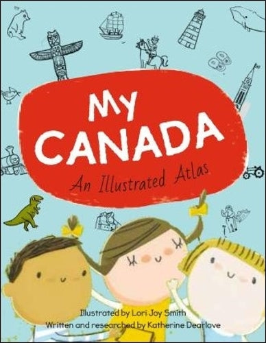
My Canada: An Illustrated Atlas by Katherine Dearlove
The essential bestselling kids' map book of Canada, perfect for ages 4 to 8
This picture book atlas is a whimsical and informative introduction to Canada, from sea to sea to sea. Each province and territory is featured on its own spread, with icons and labels indicating the capital city, other major cities, key lakes and rivers, iconic landmarks, animals, and plants, significant national and provincial parks, and more.
Inspired by the illustrator's map of PEI, a longtime gift shop bestseller, each map is lively and colourful with plenty of details to discover. Simple labels make key places and landmarks easily searchable for further research. My Canadaalso includes basic introductory information about the country, showing respect for the land's Indigenous history. Revised and updated with expert input in 2020, this book is a current and kid-friendly portrayal of our diverse and abundant country. Also available in French.
| SKU | Unavailable |
| ISBN 13 | 9781771472647 |
| ISBN 10 | 1771472642 |
| Title | My Canada: An Illustrated Atlas |
| Author | Katherine Dearlove |
| Condition | Unavailable |
| Binding Type | Hardback |
| Publisher | Owlkids Books Inc. |
| Year published | 2017-06-01 |
| Number of pages | 32 |
| Cover note | Book picture is for illustrative purposes only, actual binding, cover or edition may vary. |
| Note | Unavailable |