


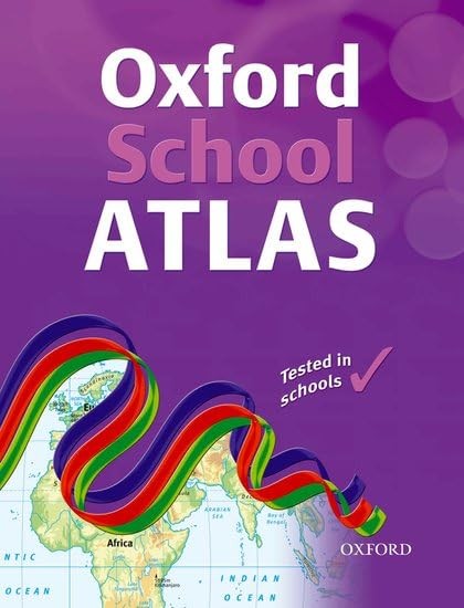
OXFORD SCHOOL ATLAS by Patrick Wiegand
This is a revised and updated edition with digital maps that are accurate and easy-to-read. Satellite images, photographs and artwork are used to enhance the themes. The mapping is very clear, the level of detail accessible to all 10+ geographers and the topics specifically chosen to cover the key curriculum requirements. Easy-to-use features include a multi-access contents page, clear explanations of graphics, country data files, a two-colour index of place names, and flags of the world at a usable size. There is comprehensive coverage of the British Isles, together with continental and world mapping and a world statistical section.| SKU | Unavailable |
| ISBN 13 | 9780198326991 |
| ISBN 10 | 0198326998 |
| Title | OXFORD SCHOOL ATLAS |
| Author | Wiegand Patrick |
| Condition | Unavailable |
| Binding Type | Paperback |
| Publisher | Oxford University Press |
| Year published | 2009-05-01 |
| Number of pages | 96 |
| Cover note | Book picture is for illustrative purposes only, actual binding, cover or edition may vary. |
| Note | Unavailable |