Philip's France and Belgium Road Map


Philip's France and Belgium Road Map
Regular price
Checking stock...
Regular price
Checking stock...
Summary
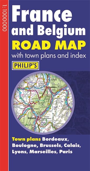
A fully revised new edition of Philip's ultra-clear, double-sided road map covering the whole of France and Belgium, with a comprehensive index and seven town plans.
The feel-good place to buy books
- Free delivery in Australia
- Supporting authors with AuthorSHARE
- 100% recyclable packaging
- Proud to be a B Corp – A Business for good
- Buy-back with Ziffit
Philip's France and Belgium Road Map by Philip's Maps
Philip's France and Belgium Road Map is designed for long-distance driving, and is a convenient size for opening out on a table or in a vehicle. France and Belgium are shown at 10 km to 1 cm (16 miles to 1 inch), an ideal scale for long-distance driving, with major routes and destinations picked out in bold colours. Toll and pre-pay motorways are clearly shown, along with restricted and unrestricted motorway junctions, service areas and rest areas. Town plans are provided for Bordeaux, Boulogne, Brussels, Calais, Lyons, Marseilles and Paris. For holiday planning, the map highlights scenic routes and shows car ferry routes, along with ancient monuments, beaches, castles, cathedrals, national parks, ski resorts, theme parks, world heritage sites, and many other places of interest.| SKU | Unavailable |
| ISBN 13 | 9781849073097 |
| ISBN 10 | 1849073090 |
| Title | Philip's France and Belgium Road Map |
| Author | Philip's Maps |
| Condition | Unavailable |
| Binding Type | Paperback |
| Publisher | Octopus Publishing Group |
| Year published | 2014-02-03 |
| Cover note | Book picture is for illustrative purposes only, actual binding, cover or edition may vary. |
| Note | Unavailable |