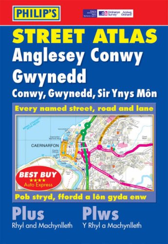
Philip's Street Atlas Anglesey, Conwy and Gwynedd


Summary
The feel-good place to buy books
Philip's Street Atlas Anglesey, Conwy and Gwynedd by None
The only detailed colour atlas that gives comprehensive coverage of Anglesey, Conwy, and Gwynedd.
'Best Buy' *****AUTO EXPRESS
| SKU | Unavailable |
| ISBN 13 | 9780540085880 |
| ISBN 10 | 054008588X |
| Title | Philip's Street Atlas Anglesey, Conwy and Gwynedd |
| Author | None |
| Condition | Unavailable |
| Binding Type | Paperback |
| Publisher | Octopus Publishing Group |
| Year published | 2004-04-05 |
| Number of pages | 192 |
| Cover note | Book picture is for illustrative purposes only, actual binding, cover or edition may vary. |
| Note | Unavailable |