


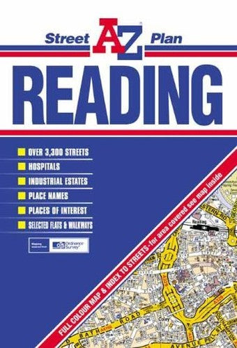
Reading Street Plan by Geographers' A-Z Map Company
This coloured foldout street map of Reading covers an area that extends to Purley on Thames, Emmer Green, Twyford, Winnersh, Sindlesham, Whitley Wood, Theale (part) and Tilehurst. On the reverse is the index which lists streets, selected flats and walkways, place and area names, hospitals, hospices and selected places of interest covered by the map.| SKU | Unavailable |
| ISBN 13 | 9780850399455 |
| ISBN 10 | 0850399459 |
| Title | Reading Street Plan |
| Author | Geographers' A-Z Map Company |
| Condition | Unavailable |
| Binding Type | Sheet map, folded |
| Publisher | HarperCollins Publishers |
| Year published | 2002-03-10 |
| Cover note | Book picture is for illustrative purposes only, actual binding, cover or edition may vary. |
| Note | Unavailable |