The West Highland Way (Footprint Map)


The West Highland Way (Footprint Map)
Regular price
Checking stock...
Regular price
Checking stock...
Summary
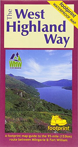
The West Highland Way waterproof map from Footprint is a map-guide to the 95 mile (153km) route between Milngavie and Fort William. The mapping is based on Ordnance Survey data at a scale of 1:40,000, with compact and concise information for walkers.
The feel-good place to buy books
- Free delivery in Australia
- Supporting authors with AuthorSHARE
- 100% recyclable packaging
- Proud to be a B Corp – A Business for good
- Buy-back with Ziffit
The West Highland Way (Footprint Map) by Footprint
The West Highland Way waterproof map from Footprint is a map-guide to the 95 mile (153km) route between Milngavie and Fort William. The mapping is based on Ordnance Survey data at a scale of 1:40,000, with compact and concise information for walkers.| SKU | Unavailable |
| ISBN 13 | 9781871149937 |
| ISBN 10 | 1871149932 |
| Title | The West Highland Way (Footprint Map) |
| Author | Footprint |
| Condition | Unavailable |
| Binding Type | Sheet map, folded |
| Publisher | Footprint Maps |
| Year published | 2017-04-10 |
| Cover note | Book picture is for illustrative purposes only, actual binding, cover or edition may vary. |
| Note | Unavailable |