

Dublin Streetfinder Colour Map by
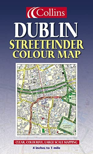
4 inches to 1 mile 1:15,840 approx. Full colour map of Dublin with street level detail and full index to street names. The mapping is fully updated and is presented in a durable card cover. MAIN FEATURES • Full colour street map with colour classified roads • Fully updated for 2003 • Full index to street names INCLUDES • Important buildings and places of interest • Car parks and railway stations AREA OF COVERAGE From Ballymun and Baldoyle in the north to Dundrum in the south, includes Castleknock and Phoenix Park in the west to the coast in the east. WHO THE PRODUCT IS OF INTEREST TO Residents, businesses and visitors will all find this map a useful purchase.| SKU | Unavailable |
| ISBN 13 | 9780007147526 |
| ISBN 10 | 000714752X |
| Title | Dublin Streetfinder Colour Map |
| Condition | Unavailable |
| Binding Type | Sheet map, folded |
| Publisher | HarperCollins Publishers |
| Year published | 2003-02-03 |
| Cover note | Book picture is for illustrative purposes only, actual binding, cover or edition may vary. |
| Note | Unavailable |