East Anglia Road Map


Proud to be B-Corp
The feel-good place to buy books
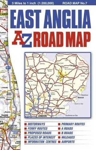
East Anglia Road Map by Geographers' A-Z Map Company
This full colour single sided foldout road map of East Anglia covers an area extending to Grantham, Boston, King's Lynn, Hunstanton, Cromer, Great Yarmouth, Lowestoft, Aldeburgh, Felixstowe, Clacton-on-Sea, Southend-on-Sea, Central London, Slough, Dunstable, Bedford and Stamford. Map information includes motorways open with full junction detail, motorways under construction and proposed, service areas, primary routes and destinations, A & B roads, selected major road service areas, gradients 1:5 and steeper, tolls, mileages, national and county boundaries, spot heights and contour colouring. A wide range of ancillary and tourist information is included along with an index to cities, towns, villages, hamlets and locations.| SKU | Unavailable |
| ISBN 13 | 9780850399486 |
| ISBN 10 | 0850399483 |
| Title | East Anglia Road Map |
| Author | Geographers A-Z Map Company |
| Condition | Unavailable |
| Binding Type | Paperback |
| Publisher | HarperCollins Publishers |
| Year published | 2002-05-10 |
| Cover note | Book picture is for illustrative purposes only, actual binding, cover or edition may vary. |
| Note | Unavailable |