M25 Main Road Map of London


M25 Main Road Map of London
Regular price
Checking stock...
Regular price
Checking stock...
Proud to be B-Corp
Our business meets the highest standards of verified social and environmental performance, public transparency and legal accountability to balance profit and purpose. In short, we care about people and the planet.
The feel-good place to buy books
- Free delivery in Ireland
- Supporting authors with AuthorSHARE
- 100% recyclable packaging
- Proud to be a B Corp – A Business for good
- Buy-back with Ziffit
M25 Main Road Map of London by Geographers' A-Z Map Company
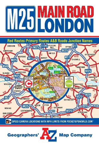
This A-Z Main Road Map of London is a full colour, fold-out map covering the Greater London area and extends beyond the M25 Motorway to: •Chesham •South Mimms •Epping •Brentwood •Thurrock •Gravesend •Borough Green •Sevenoaks •Redhill •Guildford •Windsor •Beaconsfield •Amersham The mapping features motorways, primary routes, A & B roads and a selection of other main through routes showing road and junction names. Safety camera locations with their maximum speed limit, the central London congestion charging zone and the low emission zone boundary are also featured on the mapping. On the reverse of the map is the index which lists streets, place, area and junction names and selected places of interest that are featured on this map.Britain’s leading street map publisher providing cartographic services, digital data products and paper mapping publications (including Street Atlases, Visitors Guides, Great Britain Road Atlases and The Adventure Atlas).
| SKU | Unavailable |
| ISBN 13 | 9781843487418 |
| ISBN 10 | 1843487411 |
| Title | M25 Main Road Map of London |
| Author | Geographers A-Z Map Company |
| Series | A-Z Road Map |
| Condition | Unavailable |
| Publisher | HarperCollins Publishers |
| Year published | 2015-03-12 |
| Number of pages | 1 |
| Cover note | Book picture is for illustrative purposes only, actual binding, cover or edition may vary. |
| Note | Unavailable |