Philip's 2018 Multiscale Road Atlas Europe


Philip's 2018 Multiscale Road Atlas Europe
Regular price
Checking stock...
Regular price
Checking stock...
Summary
Philip's: the UK's best-selling Europe Atlas range 'The clearest and most detailed maps of Europe' David Williams MBE, CEO Gem Motoring Assist Special feature for 2018 'Driving Abroad - a cautionary tale' with dashcam examples
The feel-good place to buy books
- Free delivery in Ireland
- Supporting authors with AuthorSHARE
- 100% recyclable packaging
- Proud to be a B Corp – A Business for good
- Buy-back with Ziffit
Philip's 2018 Multiscale Road Atlas Europe by Philip's Maps
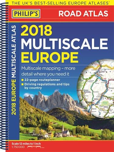
PHILIP'S: THE BEST-SELLING EUROPE ROAD ATLAS RANGE IN THE UK 'The clearest and most detailed maps of Europe' David Williams MBE, CEO Gem Motoring Assist 'The best of its kind with quick, easy-to-use information' Fleet Week Multiscale mapping - more details where you need it Special feature for 2018 'Driving Abroad - a cautionary tale' with dashcam examples Philip's Multiscale Road Atlas of Europe 2018 has: - Every country in Europe and Western Europe - Practical A4 format and spiral-binding - easy to use in the car - Main scale super-clear 1:750,000 (12 miles to 1 inch) - 22-page route planning map section with 1,200 miles to a page - Three supplementary scales from 1:200,000 to 1:3M - helps navigation in denser areas - 50 town and city plans - 31 urban area maps - Scenic routes highlighted - Driving regulations country-by-country - Ski resorts feature - Distance chart - Fully indexed In fact, everything you need for your trip to Europe.| SKU | Unavailable |
| ISBN 13 | 9781849074216 |
| ISBN 10 | 1849074216 |
| Title | Philip's 2018 Multiscale Road Atlas Europe |
| Author | Philip's Maps |
| Series | Philips Road Atlas |
| Condition | Unavailable |
| Binding Type | Spiral bound |
| Publisher | Octopus Publishing Group |
| Year published | 2017-04-06 |
| Number of pages | 280 |
| Cover note | Book picture is for illustrative purposes only, actual binding, cover or edition may vary. |
| Note | Unavailable |