2021 Philip's Big Road Atlas Britain and Ireland


2021 Philip's Big Road Atlas Britain and Ireland
Regular price
Checking stock...
Regular price
Checking stock...
Résumé
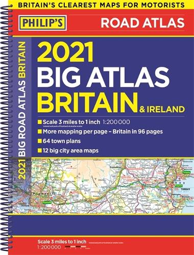
Philip's Big Road Atlas Britain and Ireland 2021 is the large-format atlas with practical spiral binding, featuring fully updated maps from the Philip's digital database. The maps are super-clear. They have been voted Britain's clearest and most detailed in an independent consumer survey.
The feel-good place to buy books
- Free delivery in the UK
- Supporting authors with AuthorSHARE
- 100% recyclable packaging
- B Corp - kinder to people and planet
- Buy-back with World of Books - Sell Your Books
2021 Philip's Big Road Atlas Britain and Ireland by Philip's Maps
PHILIP'S - THE FASTEST GROWING BRAND OF UK ROAD ATLASES No. 1 in the UK for clear maps 'Good balance between detail and clarity with excellent town maps' What Car? Main scale of maps: 3 miles to 1 inch = 1:200,000 Practical 'more to view per page' A3 format Great for planning and driving long journeys or short hops Philip's: Britain's clearest maps for motorists Completely updated and revised for 2021 - 96 pages of fully updated road maps - Plan your route in advance - 6-page extra-large-scale route-planning section - 64 fully indexed town and city plans - 16 pages of city approach maps with named arterial roads - 2-page road map of Ireland - Map of scenic Britain and a map highlighting railways, airports and ferry ports Philip's 2021 Big Road Atlas Britain and Ireland is the large-format, spiral-bound atlas featuring fully updated maps from Philip's digital database. The maps are super-clear. They have been voted Britain's clearest and most detailed in an independent consumer survey. Philip's 2021 Big Road Atlas Britain and Ireland contains 96 pages of road maps covering Britain at 3 miles to 1 inch (Scottish Highlands and Western Isles at 4 miles to 1 inch, Orkney and Shetland at 5.25 miles to 1 inch). The maps clearly mark service areas, roundabouts and multi-level junctions, and in rural areas distinguish between roads over and under 4 metres wide - a boon for drivers of wide vehicles. The atlas also includes a 2-page road map of Ireland, route-planning maps, a distance table, 12 large-scale city approach maps with named arterial roads, and 64 extra-detailed and fully indexed town and city plans.
Philip's has been at the forefront of creating maps and atlases since 1834. Whether a local street map or a fact-packed World Atlas, we use the most up-to-date technology, expertise and our global network to ensure our customers have all the information they need.
| SKU | Non disponible |
| ISBN 13 | 9781849075244 |
| ISBN 10 | 1849075247 |
| Titre | 2021 Philip's Big Road Atlas Britain and Ireland |
| Auteur | Philip's Maps |
| Série | Philip's Road Atlases |
| État | Non disponible |
| Type de reliure | Spiral bound |
| Éditeur | Octopus Publishing Group |
| Année de publication | 2020-06-11 |
| Nombre de pages | 168 |
| Note de couverture | La photo du livre est présentée à titre d'illustration uniquement. La reliure, la couverture ou l'édition réelle peuvent varier. |
| Note | Non disponible |