A. to Z. Street Atlas of Reading, Henley-on-Thames, and Wokingham


A. to Z. Street Atlas of Reading, Henley-on-Thames, and Wokingham
Regular price
Checking stock...
Regular price
Checking stock...
Résumé
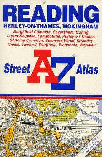
This street atlas, scale 4 to 1 mile, covers Reading, its immediate environs, Henley-on-Thames and Wokingham. It contains 48 pages of colour maps and incorporates grid squares based on the National Grid, the values of which are shown in the margin.
The feel-good place to buy books
- Free delivery in the UK
- Supporting authors with AuthorSHARE
- 100% recyclable packaging
- B Corp - kinder to people and planet
- Buy-back with World of Books - Sell Your Books
A. to Z. Street Atlas of Reading, Henley-on-Thames, and Wokingham by Geographers' A-Z Map Company
This street atlas, scale 4 to 1 mile, covers Reading, its immediate environs, Henley-on-Thames and Wokingham. It contains 48 pages of colour maps and incorporates grid squares based on the National Grid, the values of which are shown in the margin.| SKU | Non disponible |
| ISBN 13 | 9780850392777 |
| ISBN 10 | 0850392772 |
| Titre | A. to Z. Street Atlas of Reading, Henley-on-Thames, and Wokingham |
| Auteur | Geographers A-Z Map Company |
| Série | A-Z Street Atlas S |
| État | Non disponible |
| Type de reliure | Paperback |
| Éditeur | HarperCollins Publishers |
| Année de publication | 1993-02-01 |
| Nombre de pages | 64 |
| Note de couverture | La photo du livre est présentée à titre d'illustration uniquement. La reliure, la couverture ou l'édition réelle peuvent varier. |
| Note | Non disponible |