Philip's France and Spain Road Atlas


Philip's France and Spain Road Atlas
Regular price
Checking stock...
Regular price
Checking stock...
Résumé
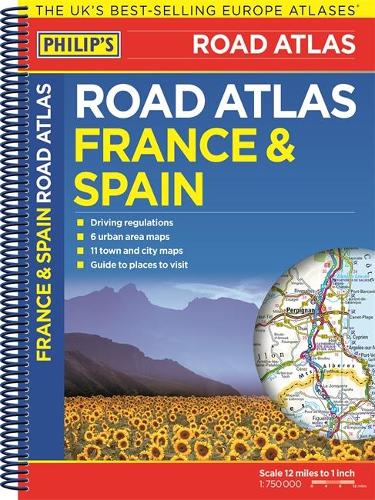
The new Philip's France and Spain Road Atlas, in a spiral A4 format, is the must-have atlas for anyone travelling to these countries by motor vehicle.
The feel-good place to buy books
- Free delivery in the UK
- Supporting authors with AuthorSHARE
- 100% recyclable packaging
- B Corp - kinder to people and planet
- Buy-back with World of Books - Sell Your Books
Philip's France and Spain Road Atlas by Philip's Maps
The new Philip's France and Spain Road Atlas, in a spiral A4 format, is the must-have atlas for anyone travelling to these countries by motor vehicle. In addition to the main maps at 1:750,000, the road network is shown at three supplementary scales from 1:250,000 to 1:3M, with ultra-clear detailed maps for urban areas. Scenic routes are highlighted on the road maps, with theme parks and World Heritage sites clearly shown. The maps also highlight towns with low-emission zones and show motorway rest/parking areas. Philip's France and Spain Road Atlas includes: Up-to-date driving regulations, including speed limits; 4 pages of route-planning maps which enable journeys of over 800 miles to be planned without turning a page; 57 pages of clear, detailed road maps, with scenic routes highlighted and toll, toll-free and pre-pay motorways all clearly marked; 6 large-scale urban-area maps; 11 city-centre plans marking historic buildings and tourist attractions, as well as car parks, head post offices and other facilities; Listings for ski resorts and top visitor attractions.
No1 in the UK for clear maps. * Ordnance Survey *
The ultimate in UK road mapping. * The Sunday Times *
Ever since I first encountered the brilliant Philip's Navigator Atlas driving in Britain has been a revelation to me. * The Independent *
Clear, detailed mapping. So detailed you could do a road rally... with it. * What Car? *
A map that beats all others. * Daily Telegraph *
The clearest and most detailed maps of Europe. -- David Williams MBE, Chief Executive * GEM Motoring Assist *
Best Buy * Auto Express *
Gives more information for leisure travellers than any comparable product. * Camping Magazine *
Simple, Accurate, Detailed Maps... This book saved us from many troubles... * Amazon Customer *
| SKU | Non disponible |
| ISBN 13 | 9781849073448 |
| ISBN 10 | 1849073449 |
| Titre | Philip's France and Spain Road Atlas |
| Auteur | Philip's Maps |
| Série | Philips Road Atlas |
| État | Non disponible |
| Éditeur | Octopus Publishing Group |
| Année de publication | 2014-11-27 |
| Nombre de pages | 88 |
| Note de couverture | La photo du livre est présentée à titre d'illustration uniquement. La reliure, la couverture ou l'édition réelle peuvent varier. |
| Note | Non disponible |