Philip's Pocket World Atlas


Philip's Pocket World Atlas
Regular price
Checking stock...
Regular price
Checking stock...
Résumé
Political map coloration makes it easy to locate countries and cities. Informative thematic section. Key facts and flags for over 200 countries. Ideal for both holiday and business travellers. Classic Philip's mapping - superb detail.
The feel-good place to buy books
- Free delivery in the UK
- Supporting authors with AuthorSHARE
- 100% recyclable packaging
- B Corp - kinder to people and planet
- Buy-back with World of Books - Sell Your Books
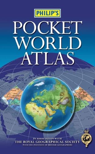
Philip's Pocket World Atlas by Philip's Maps
The new edition Philip's Pocket World Atlas contains 96 pages of maps that are politically coloured to emphasize countries, towns and cities, as well as major transport routes and administrative boundaries.At the beginning of the atlas are maps showing the world's major flight paths and international organizations. In addition, there is a concise country gazetteer giving details for over 200 of the world's nations, with useful information about area, population, capital cities, annual income, currencies and national governments.At the end of the atlas, the 24-page letter-figure index lists all major towns and cities, plus numerous geographical features such as mountains, rivers and lakes.The handy paperback format makes this pocket-sized world atlas ideal for students and travellers of all kinds.| SKU | Non disponible |
| ISBN 13 | 9781849070881 |
| ISBN 10 | 1849070881 |
| Titre | Philip's Pocket World Atlas |
| Auteur | Philip's Maps |
| État | Non disponible |
| Type de reliure | Paperback |
| Éditeur | Octopus Publishing Group |
| Année de publication | 2010-04-19 |
| Nombre de pages | 144 |
| Note de couverture | La photo du livre est présentée à titre d'illustration uniquement. La reliure, la couverture ou l'édition réelle peuvent varier. |
| Note | Non disponible |