Philip's Red Books Brighton


Philip's Red Books Brighton
Regular price
Checking stock...
Regular price
Checking stock...
Résumé
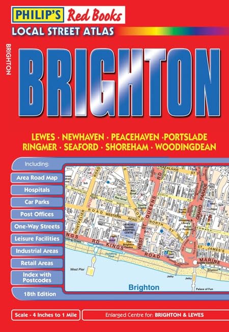
Detailed coverage of Brighton, Lewes, Newhaven, Peacehaven, Portslade, Ringmer, Seaford, Shoreham and Woodingdean. Enlarged centre maps for Brighton and Lewes. Easy-to-read street mapping. Includes area road map to assist journey route-planning. Handy pocket size, wire stitched to open out flat. Great value for money at only GBP3.99.
The feel-good place to buy books
- Free delivery in the UK
- Supporting authors with AuthorSHARE
- 100% recyclable packaging
- B Corp - kinder to people and planet
- Buy-back with World of Books - Sell Your Books
Philip's Red Books Brighton by Philip's Maps
This local street atlas of Brighton and its surrounding towns and villages gives detailed coverage of the area at a scale of 4 inches to 1 mile. It also includes enlarged centre maps for Brighton (at 8 inches to 1 mile) and Lewes (at 6 inches to 1 mile).The maps show hospitals, car parks, post offices, one-way streets, leisure facilities, industrial areas and retail areas, while the index lists street names and postcodes. An area road map enables the user to identify through-routes more easily.Pocket sized, and wire stitched so that it opens out flat, the atlas is ideally suited for both business and leisure use, whether by locals or visitors.| SKU | Non disponible |
| ISBN 13 | 9780540093809 |
| ISBN 10 | 0540093807 |
| Titre | Philip's Red Books Brighton |
| Auteur | Philip's Maps |
| Série | Philip's Red Books |
| État | Non disponible |
| Type de reliure | Paperback |
| Éditeur | Octopus Publishing Group |
| Année de publication | 2008-04-15 |
| Nombre de pages | 48 |
| Note de couverture | La photo du livre est présentée à titre d'illustration uniquement. La reliure, la couverture ou l'édition réelle peuvent varier. |
| Note | Non disponible |