Philip's Red Books Southampton


Philip's Red Books Southampton
Regular price
Checking stock...
Regular price
Checking stock...
Résumé
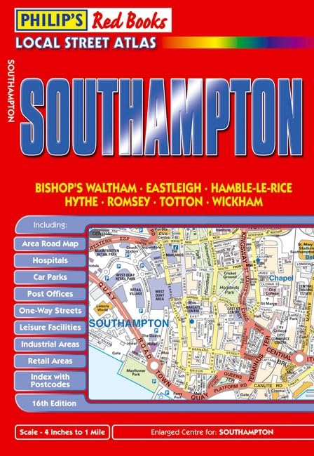
Detailed coverage of Southampton, Bishops Waltham, Eastleigh, Hamble-le-Rice, Hythe, Romsey, Totton and Wickham. Enlarged centre map for Southampton. Easy-to-read street mapping. Includes area road map to assist journey route-planning. Handy pocket size, wire stitched to open out flat. Great value for money at only GBP4.50.
The feel-good place to buy books
- Free delivery in the UK
- Supporting authors with AuthorSHARE
- 100% recyclable packaging
- B Corp - kinder to people and planet
- Buy-back with World of Books - Sell Your Books
Philip's Red Books Southampton by Philip's Maps
This local street atlas of Southampton and its surrounding towns and villages gives detailed coverage of the area at a scale of 4 inches to 1 mile. It also includes an enlarged centre map for Southampton at 6 inches to 1 mile.The maps show hospitals, car parks, post offices, one-way streets, leisure facilities, industrial areas and retail areas, while the index lists street names and postcodes. An area road map enables the user to identify through-routes more easily.Pocket sized, and wire stitched so that it opens out flat, the atlas is ideally suited for both business and leisure use, whether by locals or visitors.| SKU | Non disponible |
| ISBN 13 | 9781849071352 |
| ISBN 10 | 1849071357 |
| Titre | Philip's Red Books Southampton |
| Auteur | Philip's Maps |
| État | Non disponible |
| Type de reliure | Paperback |
| Éditeur | Octopus Publishing Group |
| Année de publication | 2010-08-03 |
| Nombre de pages | 88 |
| Note de couverture | La photo du livre est présentée à titre d'illustration uniquement. La reliure, la couverture ou l'édition réelle peuvent varier. |
| Note | Non disponible |