Philip's Street Atlas North Yorkshire


Philip's Street Atlas North Yorkshire
Regular price
Checking stock...
Regular price
Checking stock...
Résumé
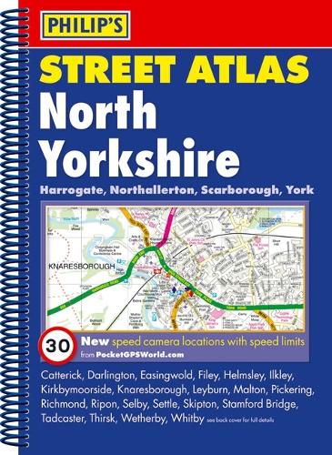
A street atlas of North Yorkshire. It shows all the A and B roads, and can be used when driving to get close to the destination before turning to the relevant large-scale street map.
The feel-good place to buy books
- Free delivery in the UK
- Supporting authors with AuthorSHARE
- 100% recyclable packaging
- B Corp - kinder to people and planet
- Buy-back with World of Books - Sell Your Books
Philip's Street Atlas North Yorkshire by Philip's Maps
This fully revised street atlas of North Yorkshire gives comprehensive and detailed coverage of the area. The route planner shows all the A and B roads, and can be used when driving to get close to the destination before turning to the relevant large-scale street map.The street maps show every named road, street and lane very clearly, with major roads picked out in colour. The maps are at a scale of 1 3/4 inches to 1 mile, with larger scale maps at a scale of 3 1/2 inches to 1 mile for the following towns: Harrogate, Ilkley, Knaresborough, Malton, Richmond, Ripon, Scarborough, Selby, Skipton, Spofforth, Thirsk, Whitby and York. York city centre is also shown at 7 inches to 1 mile.Other information on the maps includes postcode boundaries, car parks, railway and bus stations, post offices, schools, colleges, hospitals, police and fire stations, places of worship, leisure centres, footpaths and bridleways, camping and caravan sites, golf courses, and many other places of interest. New to this edition are fixed single and multiple speed-camera locations, with corresponding speed limits.The comprehensive index lists street names and postcodes, plus schools, hospitals, railway stations, shopping centres and other such features picked out in red, with other places of interest shown in blue.| SKU | Non disponible |
| ISBN 13 | 9781849070027 |
| ISBN 10 | 1849070024 |
| Titre | Philip's Street Atlas North Yorkshire |
| Auteur | Philip's Maps |
| Série | Philip's Street Atlas |
| État | Non disponible |
| Type de reliure | Spiral bound |
| Éditeur | Octopus Publishing Group |
| Année de publication | 2009-07-06 |
| Nombre de pages | 288 |
| Note de couverture | La photo du livre est présentée à titre d'illustration uniquement. La reliure, la couverture ou l'édition réelle peuvent varier. |
| Note | Non disponible |