Mapping the Silk Road and Beyond


Summary
The feel-good place to buy books
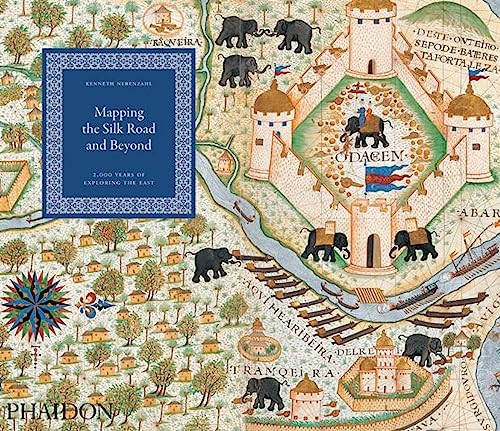
Mapping the Silk Road and Beyond by Kenneth Nebenzahl
Today the world is focusing unprecedented attention on Asia and the Middle East - rediscovering a cultural, political, and geographical landscape that has fascinated and frustrated Westerners since the time of Alexander the Great. Mapping the Silk Road and Beyond traces the history of the European age of exploration and its lasting effects on these regions through an extensive series of beautifully rendered and imaginative maps drawn by explorers, merchants, and colonial administrators of the time. The book focuses on both maritime exploration and overland discovery via the ancient Silk Road: a network of trading posts that encompassed China, Tibet, Pakistan, India, Kurdistan, Iraq, Ethiopia, Eritrea, and dozens of other places known in ancient times by fabled names, including Abyssinia, Malacca, Macassar, Siam, and Cathay. The maps provide detailed visual keys to the fascinating history of Asia and the Middle East: altogether they illuminate a cast of historical figures ranging from great leaders (the Queen of Sheba, Mohammed the prophet, King Charles V) to legendary explorers (Marco Polo, Columbus, Magellan, Sir Francis Drake, Capt. James Cook) and influential cartographers. Mapping the Silk Road and Beyond depicts over eighty maps organized in clear chronology - from Alexander the Great's map of the world, first created in 323 BC and reproduced in a sixteenth-century atlas, to maps from the nineteenth century by French and Dutch explorers that detail the growing interaction between Europeans and Eastern cultures. These maps represent the finest examples in existence in museums, libraries, and archives around the world, chosen because they depict the most important milestones in the mapping of Asia."Maps of mesmerising beauty.. A fine new book."—Stephen Bayley, Independent on Sunday
"Beautifully printed... The high-quality reproductions of a superb selection from worldwide collections speak for themselves... An informative, intriguing and beautiful book."—Dr Susan Whitfield, Royal Academy Journal
"It's been a big year for the Silk Road, with the British Library’s majestic exhibition ably and plentifully supported by book publishers right across the board... But no matter how good these books have been, it’s fair to say that none of them have pulled out the stops quite so effectively as... Mapping the Silk Road and Beyond – a truly fascinating account... A balanced and authoritative – as well as visually stunning – cartographical anthology. The pleasure of seeing such a distinguished collection of maps brought together in in one volume is greatly enhanced by the production values of the book itself. Apart from the fact it’s beautifully printed on stout matt paper with absolutely no show-through, the printer seems to have got the colours spot-on, which is a laudable achievement[...]."—Geographical
"Nebenzahl’s achievement... is to make accessible and arresting an esoteric field."—World of Interiors
"Even specialists of maps of Asia and the way there will find something new... A welcome addition to the cartography of Asia, particularly for the choice of illustrations and their superb reproduction."—IMCoS (Journal of the International Map Collector’s Society)
"Beautiful... Nebenzahl’s commentary on the maps, which presuppose no expert knowledge of cartography, [...] is clear and helpful."—The Art Newspaper
"A collection of maps, spanning 2,000 years offer a unique insight into the discovery of Asia and its trade routes."—British Airways Magazine
| SKU | Unavailable |
| ISBN 13 | 9780714863207 |
| ISBN 10 | 0714863203 |
| Title | Mapping the Silk Road and Beyond |
| Author | Kenneth Nebenzahl |
| Condition | Unavailable |
| Binding Type | Paperback |
| Publisher | Phaidon Press Ltd |
| Year published | 2011-08-21 |
| Number of pages | 176 |
| Cover note | Book picture is for illustrative purposes only, actual binding, cover or edition may vary. |
| Note | Unavailable |