


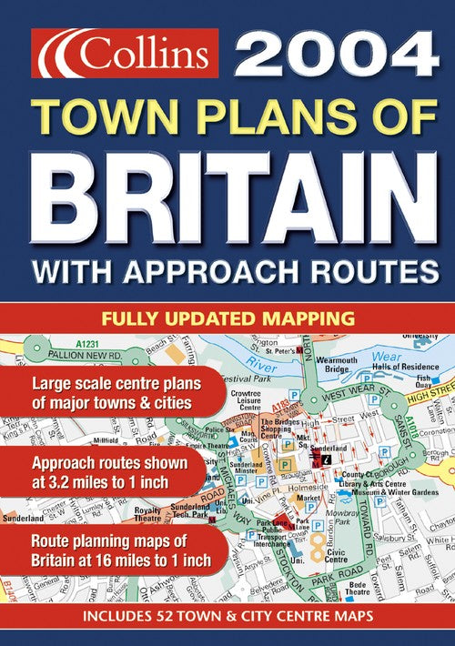
2004 Handy Town Plan Atlas Britain by
Planning Maps at 1:1m 16 miles to 1 inch. Approach routes at 1:200,000 3.2 miles to 1 inch. N. Scotland at 1:317,000 5 miles to 1 inch. Town plans at various scales. The handy A5 format of this atlas makes it the ideal travelling companion fitting neatly into the glovebox, pocket or bag.
INCLUDES
Road and town plan mapping in ‘Collins’ style with information on hospitals, radio stations and Tourist Information Centres.
MAIN FEATURES
• 53 fully updated town plans complete with street name indexes
• Mapping of approach roads at 3.2 miles to 1 inch and 5 miles to 1 inch for N. Scotland
• Route Planning maps of Britain at 16 miles to 1 inch
• 6 page London section showing urban area maps plus city centre complete with street index
AREA OF COVERAGE
53 town plans featuring brand new mapping plus approach routes shown. Route planning maps cover the whole of Britain.
WHO THE PRODUCT IS OF INTEREST TO
This product is ideal for those travelling around the country. Business user and visitor alike will find this atlas an essential purchase with its clear full colour mapping at various scales, helping them reach their destination with the minimum of effort.
| SKU | Unavailable |
| ISBN 13 | 9780007161973 |
| ISBN 10 | 0007161972 |
| Title | 2004 Handy Town Plan Atlas Britain |
| Condition | Unavailable |
| Binding Type | Paperback |
| Publisher | HarperCollins Publishers |
| Year published | 2003-08-04 |
| Number of pages | 128 |
| Cover note | Book picture is for illustrative purposes only, actual binding, cover or edition may vary. |
| Note | Unavailable |