


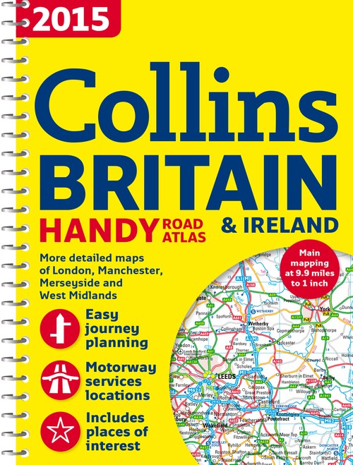
2015 Collins Handy Road Atlas Britain by Collins Maps
This easy-to-use, handy A5 sized road atlas with popular lie-flat spiral binding features extremely clear route planning maps of Britain and Ireland. A back up to your sat-nav or mobile phone and great for showing an overview of your journey.
The maps of Britain are at 9.9 miles to 1 inch (1:625,000) and the whole of Ireland is covered at 15.8 miles to 1 inch (1:1,000,000). There are also a selection of more detailed urban area maps at 4.5 miles to 1 inch (1:285,000) to aid route planning in these busy areas.
The atlas includes:
- Road maps that focus on the main roads, motorways and settlements.
- More detailed maps of London, Manchester, Merseyside and West Midlands.
- Park & Ride locations (for bus and rail).
- Handy distance calculator chart highlighting distances between the major towns.
Explore the world through accurate and up-to-date mapping.
| SKU | Unavailable |
| ISBN 13 | 9780007555109 |
| ISBN 10 | 0007555105 |
| Title | 2015 Collins Handy Road Atlas Britain |
| Author | Collins Maps |
| Series | International Road Atlases Ser |
| Condition | Unavailable |
| Binding Type | Paperback |
| Publisher | HarperCollins Publishers |
| Year published | 2014-06-19 |
| Number of pages | 80 |
| Cover note | Book picture is for illustrative purposes only, actual binding, cover or edition may vary. |
| Note | Unavailable |