2021 Philip's Big Road Atlas Britain and Ireland


The feel-good place to buy books
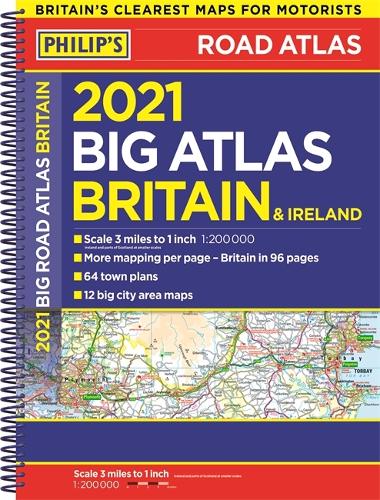
2021 Philip's Big Road Atlas Britain and Ireland by Philip's Maps
Philip's Big Road Atlas Britain and Ireland 2021 is the large-format atlas with practical spiral binding, featuring fully updated maps from the Philip's digital database. The maps are super-clear. They have been voted Britain's clearest and most detailed in an independent consumer survey.
Philip's has been at the forefront of creating maps and atlases since 1834. Whether a local street map or a fact-packed World Atlas, we use the most up-to-date technology, expertise and our global network to ensure our customers have all the information they need.
| SKU | Unavailable |
| ISBN 13 | 9781849075244 |
| ISBN 10 | 1849075247 |
| Title | 2021 Philip's Big Road Atlas Britain and Ireland |
| Author | Philip's Maps |
| Series | Philip's Road Atlases |
| Condition | Unavailable |
| Binding Type | Paperback |
| Publisher | Octopus Publishing Group |
| Year published | 2020-06-11 |
| Number of pages | 168 |
| Cover note | Book picture is for illustrative purposes only, actual binding, cover or edition may vary. |
| Note | Unavailable |