2021 Philip's Easy to Read Britain Road Atlas


The feel-good place to buy books
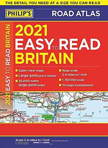
2021 Philip's Easy to Read Britain Road Atlas by Philip's Maps
New to the Philip's range of road atlases. Super-clear, large-scale maps that everyone can read easily. Practical A4 sized paperback.
Philip's has been at the forefront of creating maps and atlases since 1834. Whether a local street map or a fact-packed World Atlas, we use the most up-to-date technology, expertise and our global network to ensure our customers have all the information they need.
| SKU | Unavailable |
| ISBN 13 | 9781849075350 |
| ISBN 10 | 1849075352 |
| Title | 2021 Philip's Easy to Read Britain Road Atlas |
| Author | Philip's Maps |
| Series | Philip's Road Atlases |
| Condition | Unavailable |
| Binding Type | Paperback |
| Publisher | Octopus Publishing Group |
| Year published | 2020-03-12 |
| Number of pages | 352 |
| Cover note | Book picture is for illustrative purposes only, actual binding, cover or edition may vary. |
| Note | Unavailable |