


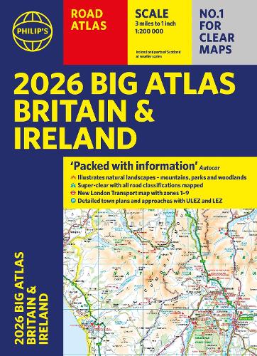
2026 Philip's Big Road Atlas of Britain & Ireland by Philip's Maps
The latest large format 2026 Philip's Big Road Atlas of Britain and Ireland has fully updated maps from the Philip's digital database. The super-clear maps have been voted Britain's clearest and most detailed in an independent consumer survey.
Great for in the car as satnav only concentrates on your route not where you are in relation to other towns or places nearby - definitely makes your journey far more interesting-- Anne Moris
Easy to read, up to date roads and junctions. -- MM
Excellent. -- JNR Photography
Easy to read, up to date roads and junctions. -- MM
Excellent. -- JNR Photography
Philip's has been at the forefront of creating maps and atlases since 1834. Whether a local street map or a fact-packed World Atlas, we use the most up-to-date technology, expertise and our global network to ensure our customers have all the information they need.
| SKU | Unavailable |
| ISBN 13 | 9781849077149 |
| ISBN 10 | 1849077142 |
| Title | 2026 Philip's Big Road Atlas of Britain & Ireland |
| Author | Philip's Maps |
| Series | Philip's Road Atlases |
| Condition | Unavailable |
| Binding Type | Paperback |
| Publisher | Octopus Publishing Group |
| Year published | 2025-06-05 |
| Number of pages | 168 |
| Cover note | Book picture is for illustrative purposes only, actual binding, cover or edition may vary. |
| Note | Unavailable |