

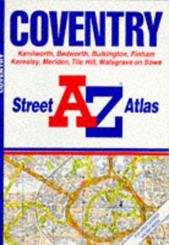
A. to Z. Street Atlas of Coventry by Geographers' A-Z Map Company
This street atlas, scale 3.25" to 1 mile, extends to include Kenilworth, Allesley, Bedworth, Bulkington, Finham, Keresley, Meriden, Tile Hill and Walsgrave on Sow. Major alterations for this edition include: (6A10-6B16) Phoenix Way is shown as under construction; (4F15-5G15) residential and retail development now shown; (6K15-6A16) Gosford Street has been upgraded to a "B" road; (1C16-2C16) residential and retail development now shown; and (4G19-6H19) Warwick University has been extensively revised.| SKU | Unavailable |
| ISBN 13 | 9780850392302 |
| ISBN 10 | 0850392306 |
| Title | A. to Z. Street Atlas of Coventry |
| Author | Geographers A-Z Map Company |
| Series | A-Z Street Atlas S |
| Condition | Unavailable |
| Binding Type | Paperback |
| Publisher | HarperCollins Publishers |
| Year published | 1989-03-01 |
| Number of pages | 32 |
| Cover note | Book picture is for illustrative purposes only, actual binding, cover or edition may vary. |
| Note | Unavailable |