

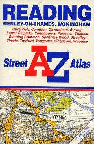
A. to Z. Street Atlas of Reading, Henley-on-Thames, and Wokingham by Geographers' A-Z Map Company
This street atlas, scale 4 to 1 mile, covers Reading, its immediate environs, Henley-on-Thames and Wokingham. It contains 48 pages of colour maps and incorporates grid squares based on the National Grid, the values of which are shown in the margin.| SKU | Unavailable |
| ISBN 13 | 9780850392777 |
| ISBN 10 | 0850392772 |
| Title | A. to Z. Street Atlas of Reading, Henley-on-Thames, and Wokingham |
| Author | Geographers' A-Z Map Company |
| Series | A-Z Street Atlas S |
| Condition | Unavailable |
| Binding Type | Paperback |
| Publisher | HarperCollins Publishers |
| Year published | 1993-02-01 |
| Number of pages | 64 |
| Cover note | Book picture is for illustrative purposes only, actual binding, cover or edition may vary. |
| Note | Unavailable |