


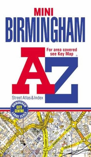
A-Z Birmingham Mini Street Atlas by Geographers' A-Z Map Company
This mini sized coloured street atlas is published in paperback form and is an ideal size to keep in a pocket or handbag. It covers an area of Birmingham which extends to Streetly, Roughley, Sutton Coldfield, Walmley, Minworth, Curdworth, Castle Bromwich, Stonebridge, Elmdon, Olton, Shirley, Hollywood, Lea End, Longbridge, Lickey, Chapman's Hill, Hunnington, Halesowen, Londonderry, West Bromwich, Grove Vale and Pheasey. An 8 page section of large scale Birmingham city centre mapping is also included. The index lists streets, place and area names and selected flats, walkways and places of interest. Also included is a list of Hospitals and Hospices covered by this atlas. Featured on the outside back cover is a diagramatic map of the Birmingham Rail and Metro Connections.| SKU | Unavailable |
| ISBN 13 | 9781843480181 |
| ISBN 10 | 1843480182 |
| Title | A-Z Birmingham Mini Street Atlas |
| Author | Geographers' A-Z Map Company |
| Series | Street Maps And Atlases S |
| Condition | Unavailable |
| Binding Type | Paperback |
| Publisher | HarperCollins Publishers |
| Year published | 2002-09-27 |
| Number of pages | 192 |
| Cover note | Book picture is for illustrative purposes only, actual binding, cover or edition may vary. |
| Note | Unavailable |